Uses artificial intelligence and machine learning to automatically analyze geospatial data, classify land features, and detect changes over time. Ideal for urban planners, smart city developers, and government agencies.
High-Precision Digital Cartography
Creates accurate digital maps with detailed topographic and utility features. Used by survey agencies, construction firms, and transport authorities.
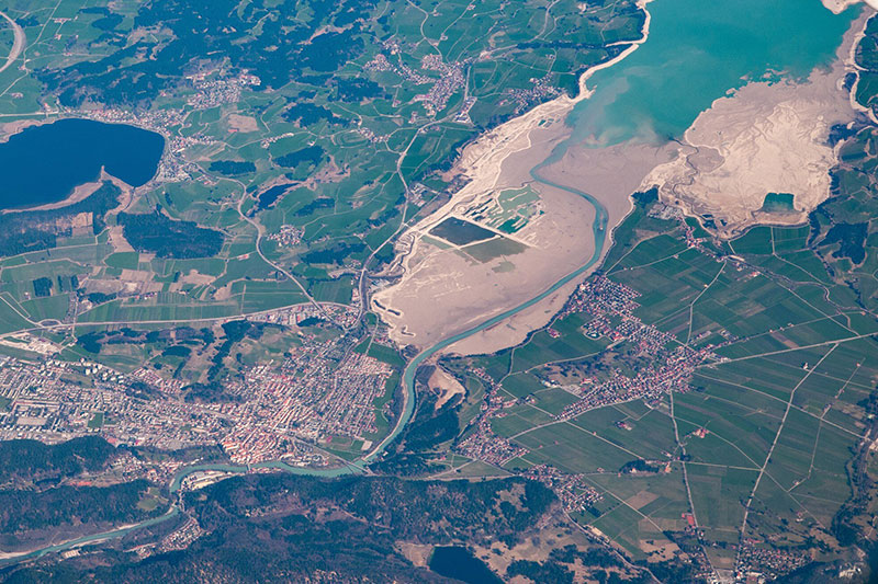
Satellite Image Analysis
Interprets satellite imagery to monitor land use, urban growth, and environmental changes. Essential for remote sensing professionals and disaster management teams.
LiDAR Point Cloud Processing
Processes 3D LiDAR data to create elevation models and identify structures. Useful for civil engineers, planners, and geospatial analysts.
GIS Data Conversion and Digitization
Converts legacy records, paper maps, and CAD files into GIS-ready formats. Beneficial for municipalities, consultants, and utility companies.