Geospatial Technology
Uses artificial intelligence and machine learning to automatically analyze geospatial data, classify land features, and detect changes over time.
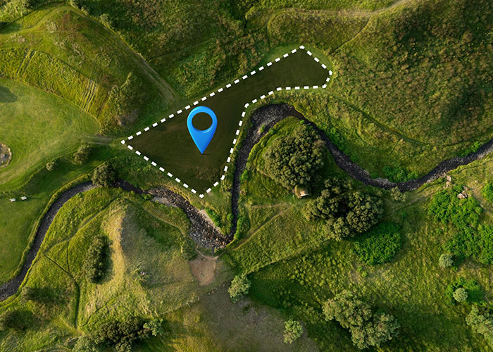
Urban & Utility Mapping
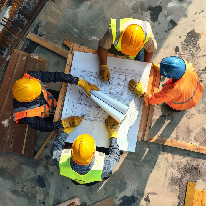
Combines Building Information Modeling with GIS for detailed infrastructure visualization and analysis. Suitable for architects and facility managers.
Technology & Digital Services
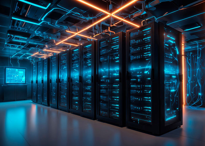
Manages cloud-based systems for scalable storage, computing, and GIS hosting. Fits tech startups and enterprise IT teams.
Mkartx has been a game-changer for our urban planning initiatives. Their GIS solutions provided real-time insights that improved our infrastructure planning and citizen services. A highly dependable team with deep geospatial expertise.

With Mkartx's remote sensing and crop monitoring services, we’ve reduced resource wastage and improved yield forecasting accuracy. Their tech is powerful, and their support is exceptional.
Their field data collection and mapping tools accelerated our highway alignment studies by weeks. Mkartx combines technical excellence with a practical, client-focused approach.
The team at Mkartx delivered high-resolution environmental maps that exceeded our expectations. Their spatial analysis helped us identify key conservation zones with precision.

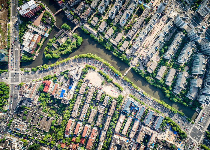
Urban Planning & Smart Cities

Agriculture & Natural Resources

Transportation & Infrastructure

Environmental Monitoring

Disaster Management

Utilities & Telecom