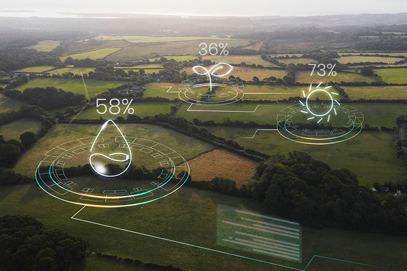
Simulates river basins and predicts water flow for flood management and irrigation planning. Ideal for water resource engineers and environmental agencies.
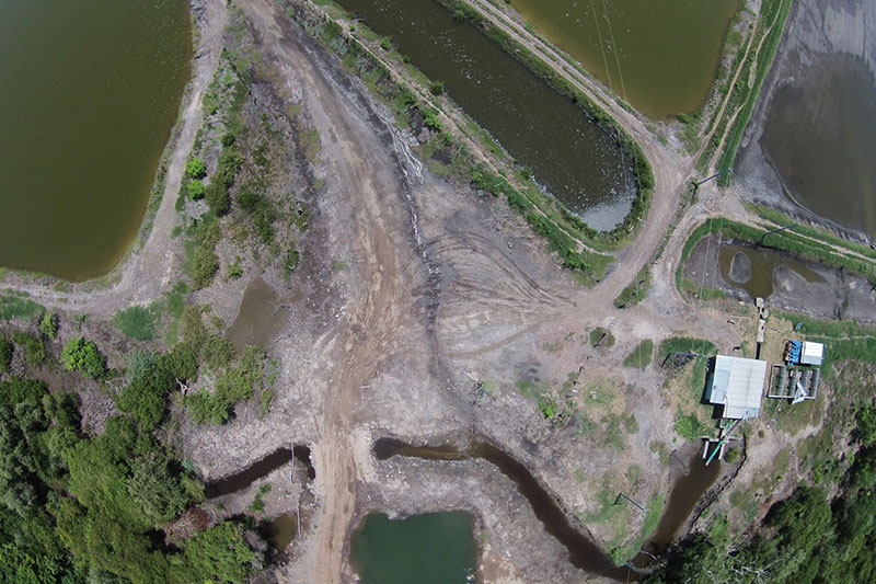
Environmental Monitoring via GIS
Tracks environmental indicators like air quality, vegetation health, and urban heat islands. Targeted toward ecological researchers and regulatory bodies.