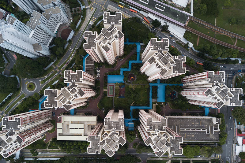
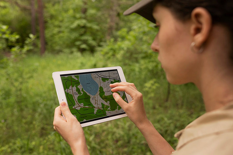
Geospatial Technology refers to a suite of advanced tools and techniques used to collect, process, and analyze data that has a geographic or spatial component. It includes systems like GPS, GIS (Geographic Information Systems), remote sensing, and LiDAR, and plays a transformative role in urban planning, environmental monitoring, transportation, disaster response, and more.
As our world becomes increasingly interconnected and data-driven, the ability to understand and act upon spatial information has become essential. Geospatial technologies not only allow us to map and measure the Earth with stunning accuracy, but also to make smarter, data-informed decisions in real-time.
From guiding autonomous vehicles and detecting environmental change from space to creating smart cities that adapt dynamically to population needs, geospatial technology is the invisible infrastructure behind today’s innovations.